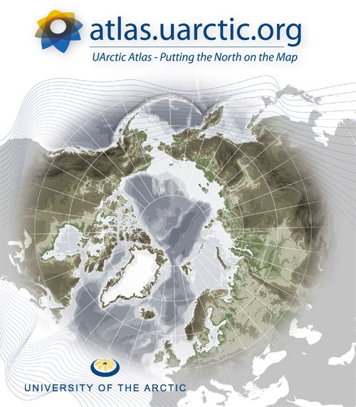
 Welcome to the UArctic Atlas, a learning resource both for UArctic students and anyone else interested in the northern circumpolar region. This website is still under development, and we will be continually adding more content including additional map layers, overview articles, and case studies in the months to come. During this development phase, your feedback is particularly important. If you have questions about the UArctic Atlas website, or if there are additional elements or features that you would like to see, please email atlas[a]uarctic.org.
The UArctic Atlas presents a visual and geographic overview of the Arctic region, including its physical environment and socio-cultural life. The Atlas is organized into five general categories, or "themes". Within each of these themes, you will find various map layers which can be viewed either in a map viewer in your browser, or opened in Google Earth. While you can view one layer at a time in the local map viewer, you can open multiple layers in Google Earth to see how different features of the Arctic overlap. Each theme will also have its own overview article describing various the features and issues within the theme, and providing links to further information.
This project has been developed by the University of the Arctic, with map layer data provided by a number of partner organizations including UNEP/GRID-Arendal, the Arctic Council, the National Snow and Ice Data Centre (NSIDC), the CARMA project, and many others. For a full list of data providers, including terms and conditions of use of this data see [About].
For more information contact atlas[a]uarctic.org.
